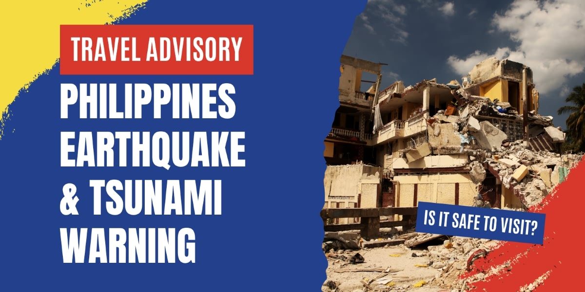
On October 10, 2025, a powerful offshore earthquake struck near Manay, Davao Oriental in southern Mindanao, triggering tsunami alerts and widespread concern. Soon after, a second tremor followed, marking a “doublet” event.
The Davao quake in the Philippines caused damage, power outages, evacuations, and confirmed fatalities. While the philippines earthquake tsunami warning has since been lifted, many travellers are asking: Is it safe to travel to the Philippines now? Which places should be avoided?
Philippines Earthquake and Tsunami Status
On October 10, 2025, a significant earthquake struck offshore Davao Oriental, followed hours later by a second, smaller quake. The Philippine seismological agency (PHIVOLCS) and international monitors issued tsunami warnings, evacuations, and alerts across the region.
Here’s a simplified chronological account of the main developments:
| Time (PHT) / Event | Description |
| ~ 9:43 AM | The first quake (magnitude ~7.4) struck off the coast of Manay, Davao Oriental, at a shallow depth. |
| Shortly after | Tsunami warnings issued for coastal provinces: Surigao del Norte, Surigao del Sur, Davao Oriental, Dinagat Islands, Eastern Samar, Southern Leyte, Leyte. |
| ~Noon | The Pacific Tsunami Warning Center and local authorities began lifting some warnings, noting the immediate risk as reduced. |
| ~7:00 PM | A second quake (reported magnitude ~6.8-6.9) rattled the same zone, prompting renewed tsunami alerts. |
| Evening – Night | Tsunami warning for the second quake was canceled after some hours; damage assessments and evacuations in coastal zones continued. |
| Before / earlier | Just days earlier, another major tremor (magnitude 6.9) hit Cebu (Visayas region), causing many fatalities and damage. |
Note: Some magnitude revisions (7.5, 7.6) appear in media, but PHIVOLCS and other authoritative sources point to ~7.4 for the main quake.
PHIVOLCS has warned that aftershocks are likely, especially in the same fault zone. These can be of magnitude 4-6 or even higher in rare cases, especially given the structural stress the main quake has introduced. Residents and visitors in affected zones should remain alert, avoid weakened structures, and heed local advisories until the seismic activity stabilizes.
Which areas are most affected?
The provinces and zones most impacted include:
Davao Oriental (Manay town vicinity, Mati City) – epicenter zone, structural damage and casualties reported.
Surigao del Norte / Surigao del Sur – included in the tsunami alert zone, coastal evacuations.
Dinagat Islands – part of the coastal alert region.
Eastern Samar, Southern Leyte, Leyte – under tsunami warning during the first quake.
Cebu (Visayas) – earlier quake on September 30 severely hit Cebu, affecting infrastructure and communities.
In these areas, government offices, schools, and tourist facilities have been closed or partially shut for safety inspections.
Airports and ferry terminals near the epicenter are being inspected; in Davao, the international airport continued operations under caution. Local ferry services, especially in coastal towns, face suspensions or delays pending marine safety checks.
Is It Safe to Travel to the Philippines Now?
This is perhaps the most pressing question for would-be visitors. Overall: yes, because the quake’s impact is geographically concentrated. It can be safe to travel outside the affected zones, and most of the Philippines remains operational, especially in areas far from Mindanao’s eastern coast. That said, you’ll want to be cautious, flexible, and vigilant.
If your route involves eastern Mindanao or nearby coastal zones, seriously reconsider or delay until local conditions stabilize.
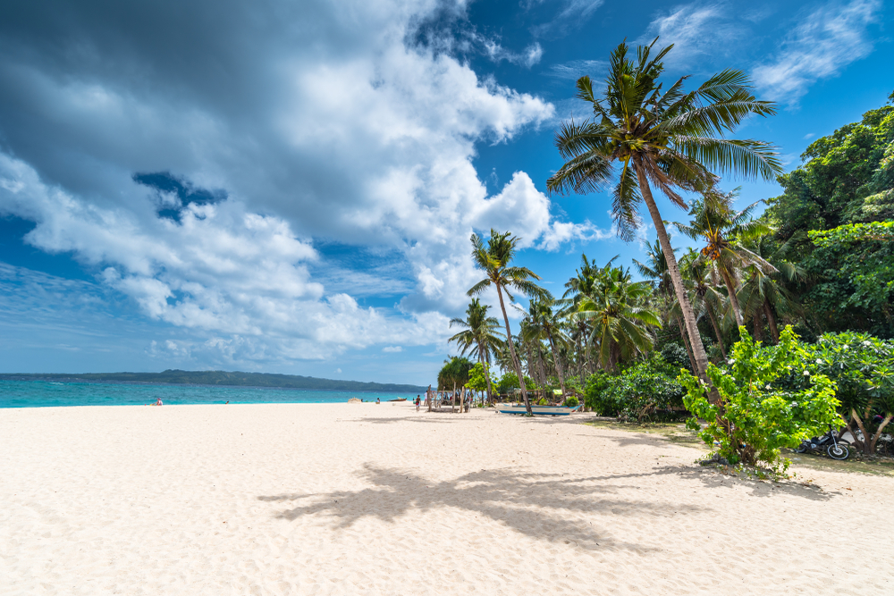
Destinations like Luzon, Palawan, Boracay, Siargao, Cebu (non-epicenter zones) are far enough to be relatively insulated, though seismic risk is ever-present in the archipelago.
*Because the country lies along the Pacific “Ring of Fire,” mild to moderate tremors occur frequently; traveling always carries a baseline of seismic risk.
General travel advisory status:
As of May 2025, the U.S. Department of State lists the Philippines at Level 2: Exercise Increased Caution, citing crime, terrorism, civil unrest, and kidnapping risks. Certain areas are flagged “Do Not Travel”: the Sulu Archipelago, Marawi City, and parts of western/central Mindanao.
The U.K. FCDO advises against all travel to western and central Mindanao and the Sulu archipelago, and only essential travel to other parts of Mindanao (excluding Dinagat, Siargao, Camiguin) due to security concerns.
Australia’s Smartraveller also urges a high degree of caution overall, and not to travel to central/western Mindanao, the Sulu archipelago, or certain zones in the Sulu Sea.
The Government of Canada urges travelers to “Exercise a high degree of caution” across the Philippines, and avoid all travel to the Sulu Archipelago and most of Mindanao due to serious safety and terrorism concerns.
So, even before the latest quake, parts of Mindanao were already under stricter scrutiny for safety. The recent earthquakes add seismic risk layers on top of existing security concerns.
Airports, flights & public transport
Davao City airport reportedly sustained cracks in parts of its structure, but flights have generally continued. Some flights to/from Davao are being monitored or adjusted as a precaution. For instance, Philippine Airlines posted advisory notices for flights to/from Davao during October 10-11.
Major airports like NAIA (Manila), Mactan-Cebu are outside the epicentral region and are currently operational. No major cancellations have been globally reported at press time. Still, delays may happen due to aircraft repositioning, inspections, or airspace restrictions.
Coastal ferry lines may suspend or reroute operations in affected zones, especially in Surigao / Dinagat / Davao Oriental areas, due to risk of underwater damage or sea anomalies.
Buses and land transport near smashed roads or landslide-prone zones may be limited or rerouted; Inland travel in unaffected provinces largely remains possible, barring localized damage.
If You’re in the Philippines Right Now: What to Do
If you are already in the Philippines during or after the quake, especially if you are in or near an affected area, here’s a guide on staying safe and responsive:
Follow local authority instructions – evacuate if told, move to higher ground if near coast; use local radio, SMS alerts, or apps to get updates- phone networks may be unstable.
Avoid damaged buildings – even if they appear intact, aftershocks may weaken them further.
Stay alert for aftershocks – drop, cover, and hold on if indoors; move away from windows/facades.
Check utilities – avoid elevators, gas lines, or electrical appliances in damaged zones until inspected.
Stock essential supplies – such as water, food, flashlight, first-aid kit, battery-powered radio or mobile with alerts.
Contact your embassy/consulate – register your presence and request assistance if needed.
Keep your valuables safe – keep copies of your ID, passport, travel documents in a waterproof/sealed bag.
How can you contact your embassy or consulate
- U.S. citizens can reach the U.S. Embassy Manila: +(63) 2 5301-2000 (or via their emergency number).
- Many embassies maintain 24/7 consular lines. Check your country’s diplomatic mission in the Philippines ahead of travel.
- The Red Cross / Red Crescent often activate Restoring Family Links services in natural disasters- ask local powers if this is active in your area.
- Use local emergency hotlines (often printed in hotels/guesthouses) for medical, police, or fire services.
Official Information & Staying Updated
Reliable, timely updates matter greatly in shifting situations. These are your best sources:
PHIVOLCS (Philippine Institute of Volcanology and Seismology): earthquake and tsunami bulletins.
NDRRMC (National Disaster Risk Reduction and Management Council): government responses, evacuation orders, announcements.
Local government units and civil defense offices in affected provinces.
International news sources (Reuters, AP, Al Jazeera) for cross-verification and contextual reporting.
Embassy / consular websites for travel advisories from your home country (e.g. U.S. Travel Advisory, Australian Smartraveller, Travel.gc.ca).
Social media / SMS alert systems (using official accounts only)- but always cross-check before reacting.
By sticking to these credible sources, you reduce the risk of rumor-driven panic or outdated advice.
Frequently Asked Questions
Q: Is it safe to travel to the Philippines now?
A: It depends on your destination. Regions within or near the recent quake zone, especially Davao Oriental, Surigao provinces, coastal zones, are still in flux. For many tourists visiting Luzon, Palawan, Boracay, or unaffected Visayas, travel is possible with caution. Avoid risky zones and monitor alerts.
Q: Is the Philippines high risk (seismic or otherwise)?
A: Yes, the Philippines lies along the Pacific Ring of Fire, making it prone to earthquakes, volcanic activity, and tsunamis. Annually, hundreds of tremors are recorded. This inherent risk is compounded by typhoons and regional security challenges.
Q: Where not to go in the Philippines (post-quake)?
A: For now, avoid coastal zones in Davao Oriental, Surigao del Norte / Sur, Dinagat Islands, Eastern Samar, Southern Leyte, Sulu Archipelago, and western/central Mindanao (security risks).
Q: Is it safe to travel to Mindanao after the earthquake?
A: Mindanao is a large island with many regions. Eastern Mindanao (e.g. Davao) is closer to the quake zone and riskier; avoid coastal communities there. Other parts (e.g. inland or islands like Siargao, Dinagat) may be safer, but travel only if updates and local authorities confirm safety.
Q: What about the earlier Cebu quake?
A: On September 30, 2025, a magnitude 6.9 earthquake struck the central Visayas (Cebu), killing ~75 people and damaging infrastructure across Cebu and nearby islands. That quake is unrelated to the current Davao-Mindanao event but adds to national strain and highlights widespread seismic vulnerability.


There are no comments.