This past Christmas weekend I had the opportunity to explore Death Valley National Park, one of the hidden gems of California and the hottest place in the world. Luckily, I completely dodged that scenario with the winter weather, which remained in the mid-50 F (10 C). As such, I was able to comfortably to hike the sand dunes, salt flats, and canyons in the day while chilling by the fire at night.
I spent all of Christmas Eve and Christmas Day exploring the park’s key sites and some off the beaten path attractions, with 2 days just to travel to/from LA. This allowed me to get a good overview of the park and develop a quick 2 day itinerary.
Getting There
Two main roads run through Death Valley: the 190-E which runs through the Western entrance and the 127-N which runs through the Eastern entrance.
From Los Angeles
Depending on where you are in Los Angeles – the Western or Eastern side of the Angeles National Forest – you’ll follow one of two routes. Both of these routes are balanced by urban and rural driving with plenty of road stops along the way to refuel. They are also hampered by traffic depending on when you leave and road conditions. You’ll want to check G-Maps before heading out to see what is best.
Lancaster Route
For travelers departing from LA proper (you’re east of the 2-N) then you’ll want to follow the 2-N to the 210-W out of the city. Cross the National Forest through the 14-N, heading up to Lancaster. Refuel and grab your Starbucks from here before continuing on the 14-N to the 395-N and eventually the 190-E. Most of the major attractions are in the center to the Eastern side of the Park, but there is still some hiking routes to visit here, which we’ll get to below.
Barstow Route
The route I followed lead me through Barstow, as I was in Baldwin Park. I followed the 10-E through Riverside County to the 15-N, the main route that connects LA and Las Vegas. Barstow is the best place to refuel and grab a late breakfast or early lunch, but you can also stop further down the highway in Baker (I suggest grabbing a strawberry shake at the Mad Greek Cafe).
From Baker you’ll follow the 127-N/Kelbaker Road to the 190-N, the Western entrance to Death Valley. Along this route you can visit Zabriske Point, one of the Valley’s most famous sites.
From Las Vegas
If you’re visiting from Las Vegas then you’ll travel on the 95-N to 1j27-S which you leads you the 190.
You can also join a day trip from Las Vegas with Bindlestiff.
Top Photo Stops
Once you arrive, you’ll want to grab your camera and get to snapping some awesome panoramas, selfies, and landscape shots of this amazing park. There’s no major spots for you to charge your phone or camera, so make sure to bring a USB charger for the drive (I kept my phone between 60-100% throughout the trip because of the long drives between photo stops).
Zabriske Point
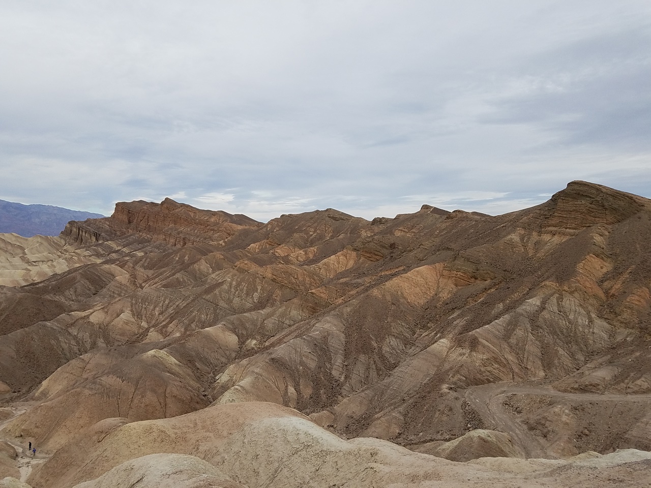
The most famous is Zabriske Point, which is one of the main attractions on the 190-N. If you arrive around dusk this area offers amazing sunsets, but if you miss it on your drive up it also makes a great first stop for sunrise. There’s a small parking lot and paved pathway leading up to the viewpoint. There’s always a steady crowd here but that just means you have someone to take a photo of you.
If you want to spend more time here there are a few hiking trails, such as Badwater Loop which I detail below.
Artistic Drive
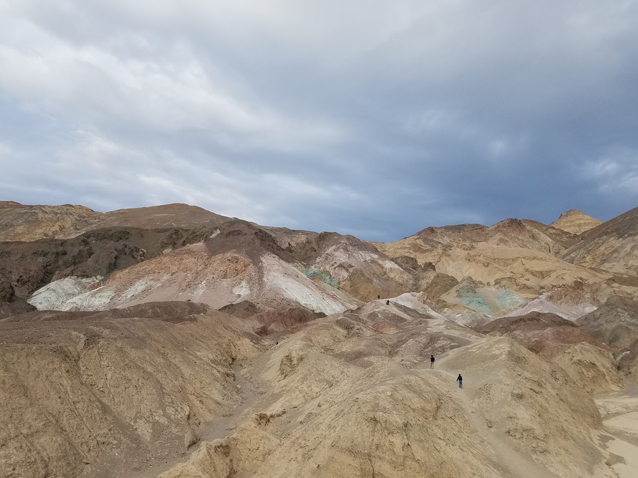
Traveling further up the 190-N you can turn off onto Badwater Road, the main paved road that cut through the salt flats. As you travel south you can turn off along the Artistic Drive, a scenic paved road that loops through the canyons. You can travel by jeep, van, or sedan, but larger RV’s and buses can’t handle turns. There are a handful of turn offs and view points where you can stop to take photos and explore the colorful canyons and ravines.
The road is one way, so you’ll exit out further north from the entrance. If you travel down to Badwater Basn and the Devil’s Gold Course – both further down Badwater Road – this is is a good way to end your day.
Badwater Basin
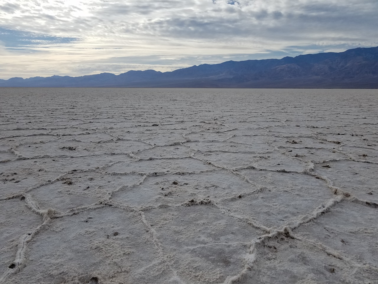
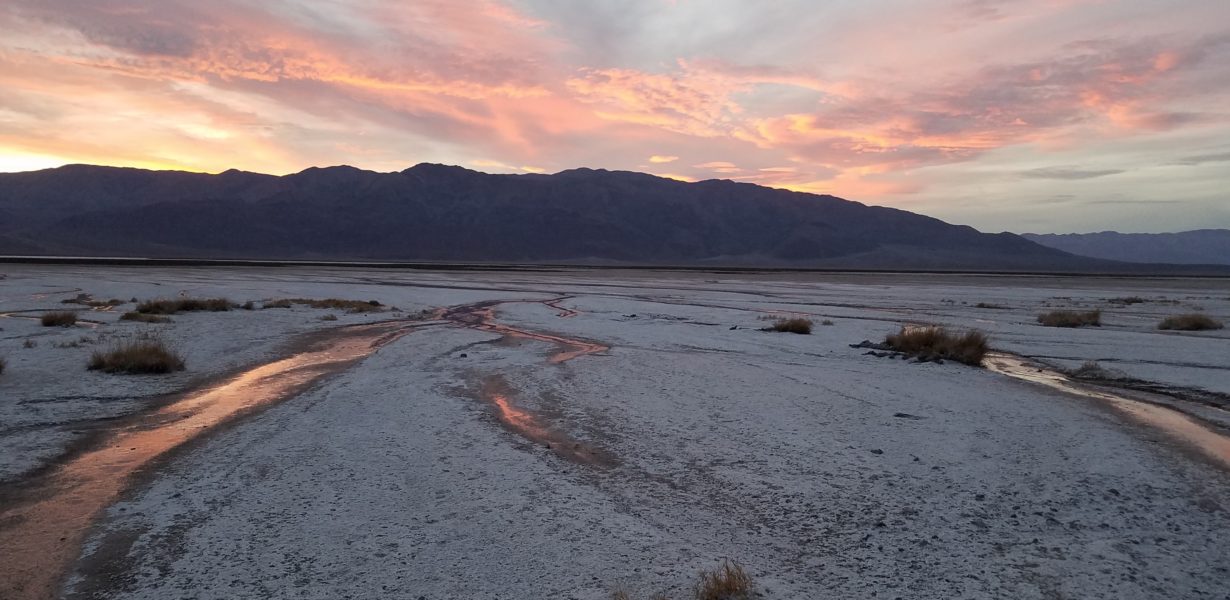
Half-way down Badwater Road you’ll discover the Badwater Basin where you can stop in the parking lot or along the road and walk out onto the salt flats. The main path is smooth and, while not paved, I did see a number of people in wheelchairs crossing it without issue. The further out you get the more natural and pristine the landscape becomes, featuring a variety of grooved salt formations.This is one of the must-see stops at Death Valley.
Off the Beaten Path
Now you can do the above 3 in half a day, depending on how much time you spend in each spot. But to round out a day trip or even a weekend, here are a few more stunning spots that don’t get as much attention.
Harmony Borax Works
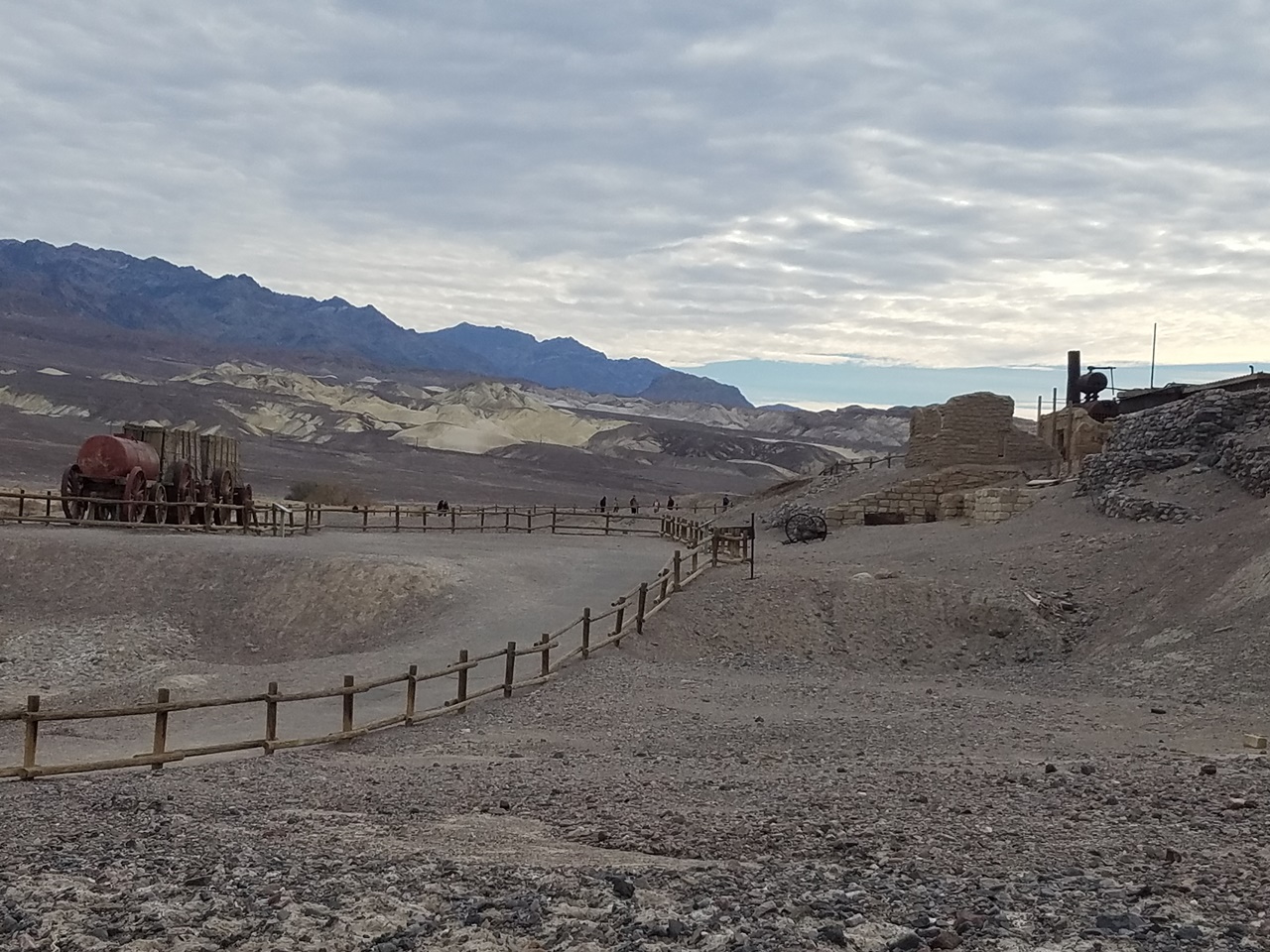
Just past the Furnace Creek Campground on 190-N is the Harmony Borax Work, a small open air museum that details the history of the salt industry in the Valley. Here you can walk a short trail to a handful of displays detail how salt was mined throughout the region and borax was made.
Salt Creek Trail
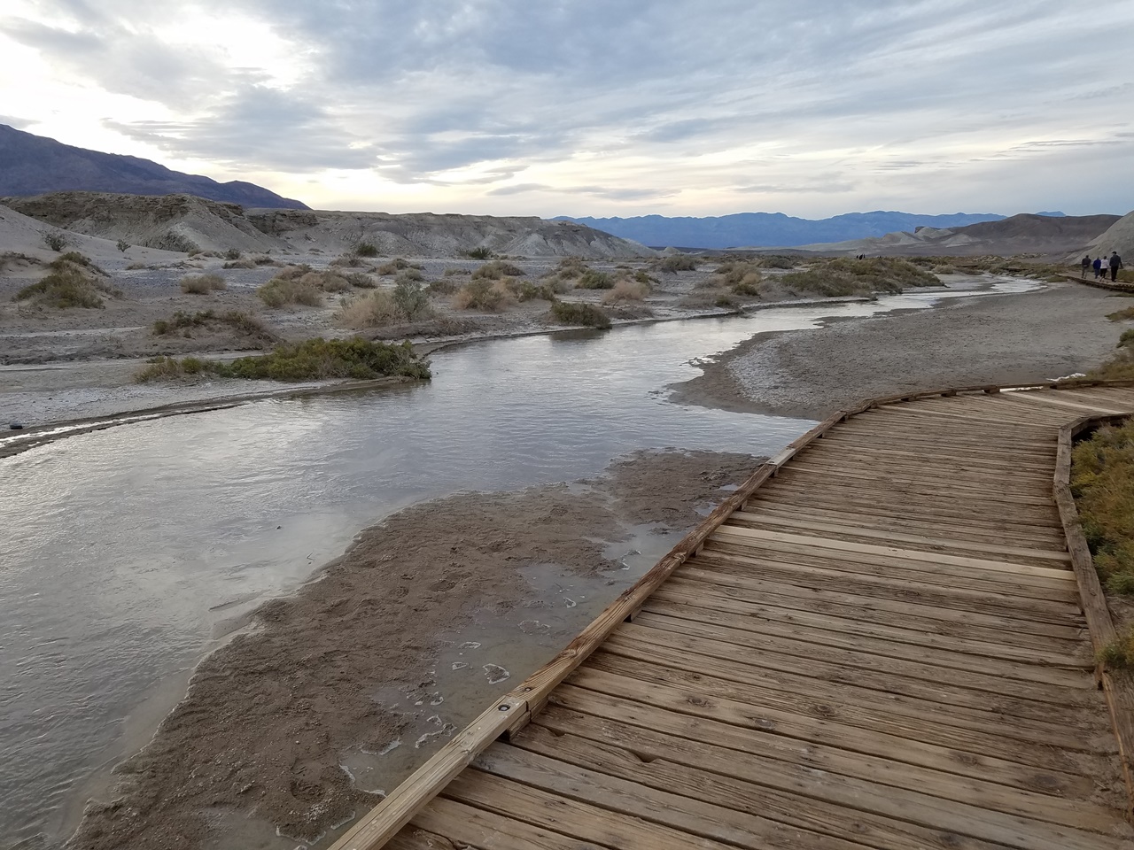
Before reaching the turn off of the 190-N onto Badwater Road you’ll see signs for Salt Creek Trail. It’s easy to miss so keep your eye out for the turn off. Here you’ll find a small parking lot and interpretation trail through one of the greenest areas in the park. The boardwalk runs for a half mile loop that will lead you over a small creek . The amount of water depends on the time of year, with Spring receiving the most runoff, as well as being the best time to spot the Salt Creek Pupfish, a unique fish that has adapted to the rough environment.
Mesquite Sand Dunes
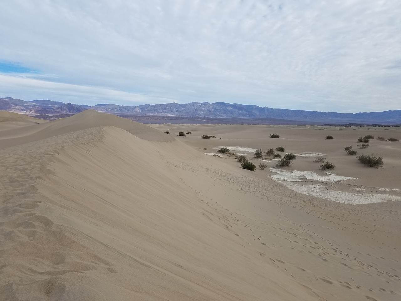
If you continue past Badwater Road on 190-N you’ll reach the Mesquite Sand Dunes. You can park on the side of the road or a small parking lot. This is a fairly popular spot for photographers and families, so if you want a clean photo you’d have to hike for a bit. It stretches for miles so you can easily explore on your own without running into to many crowds.
Devil’s Golf Course
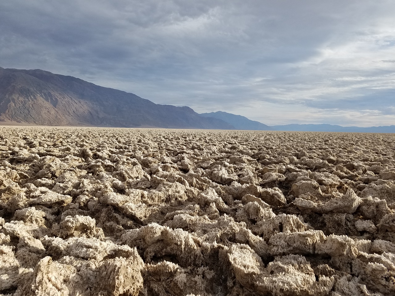
Across from Artistic Drive is an unpaved road that will lead you down to the Devil’s Golf Course, an expansive rock salt field. You can park in a small gravel space and hike out onto the field, though it can be difficult and you should be careful as the salt rocks can break underneath you. Supposedly in summer you can hear the salt crystals “pop” in the heat.
The gravel roads are accessible by small sedans, so no need to bust out the 4×4.
Epic Hikes
All of the sites listed above are fairly accessible and can be easily explore. However, some of the most astounding landscapes require quite a bit of legwork.
Mosaic Canyon
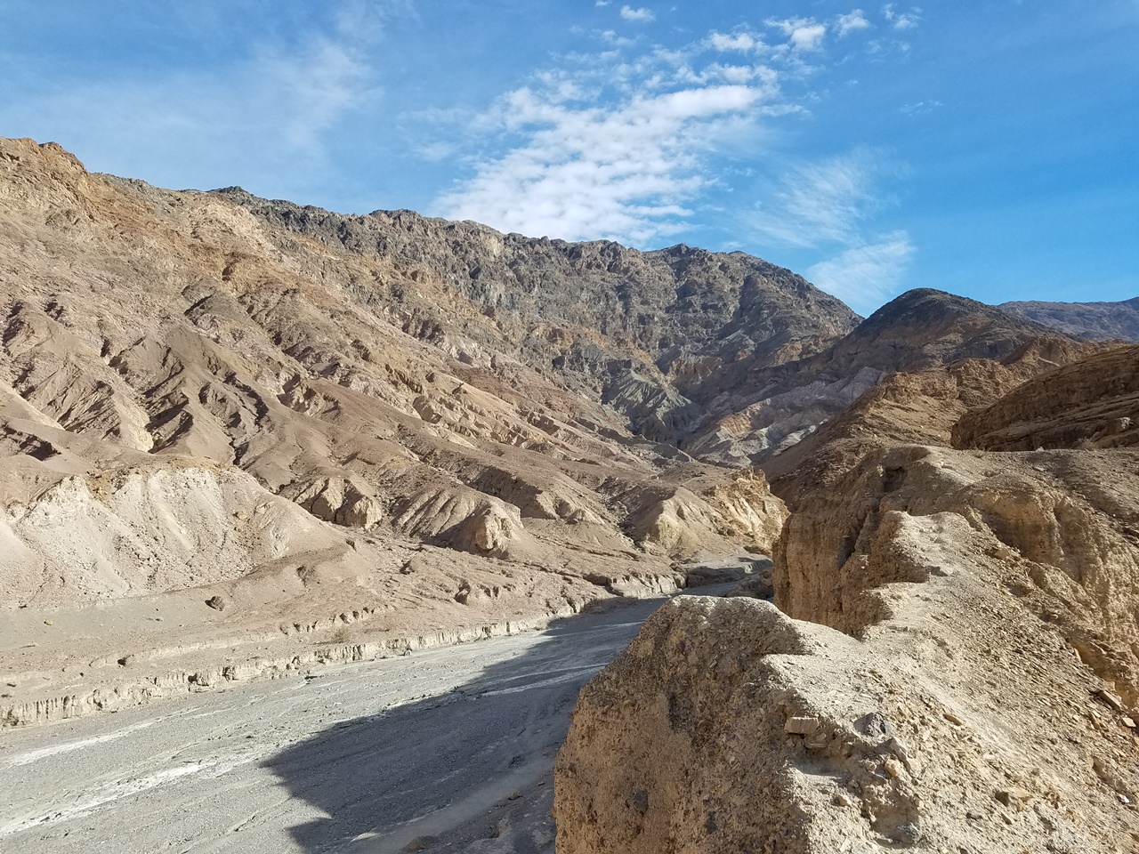
Just past Stovepipe Wells, a small rest stop on the 190-N, you can follow a gravel road to the trailhead of the Mosaic Canyon. From here you can enjoy great views of the valley, but if you’re looking for more you can head further up the trail into the canyon and see various rock layers along the canyon walls. It narrows for a bit before opening into a massive canyon. You can head deeper into it the canyon to discover dried out waterfalls or climb onto the canyon walls from some rough side trails.
Natural Bridge
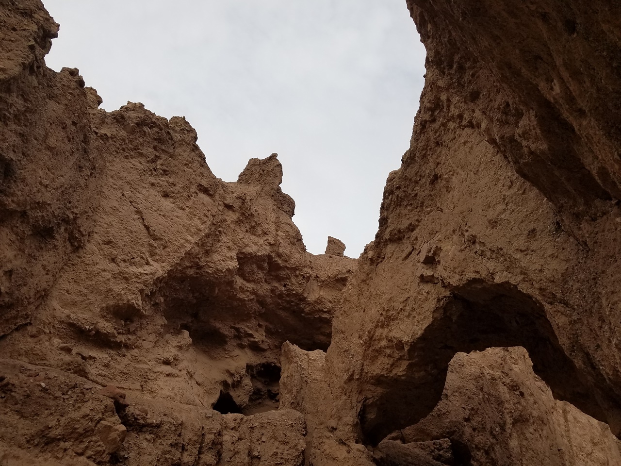
Between Artistic Drive and Badwater Basin you can follow a gravel road to the entrance to the Natural Bridge Canyon. This look is a little stepper than the others but doe reward you with the canyon’s namesake. You can walk right underneat the bridge for great shots and continue further up a series of dried up waterfalls for more secluded trails.
Badwater Loop
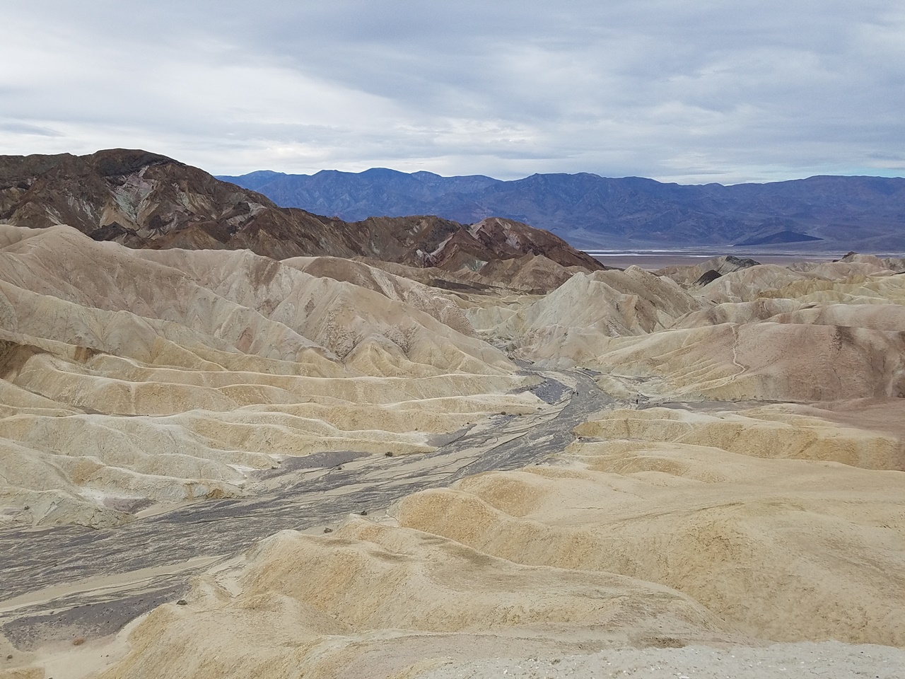
Badwater Loop is one of the easier but still rewarding hikes. The trailhead is next to the Zabriske Point parking lot and loops down below the viewpoint. Here you can walk through a dried out river bed. The trail connects to to the more intense Golden Canyon Loop which exits out on Badwater Road.
Badwater can be an easy hike if you stay in the riverbed. You can also make it more challenging if you connect to the upper loop which leads you along narrow canyon walls.
Camp, RV, or Resort?
For my trip I camped at Furnace Creek Campgrounds, located just north of Zabriske Point off the 190-N. It is the only campground that accepts reservations, while the other National Park campgrounds are first come first serve. You can also make reservations through the private camp grounds. I reserved mine for USd 22.00 per night, so I only paid USD 66.00 for my spot. The campground is open to RV’s and Campers.
Camping was relatively easy, though the campground didn’t have a shower. Some of the resorts and hotels have day use showers if you need them. I think if I went with a larger group of people I’d prefer an RV with a shower and bring a jeep for exploring the park.For an overnight trip camping is still the cheapest option.
You can also stay at The Ranch at Death Valley, a resort just south of my campground. Here you can get food at the general store or dine at a local restaurant. Over the holidays this restaurant also offers a holiday dinner option.
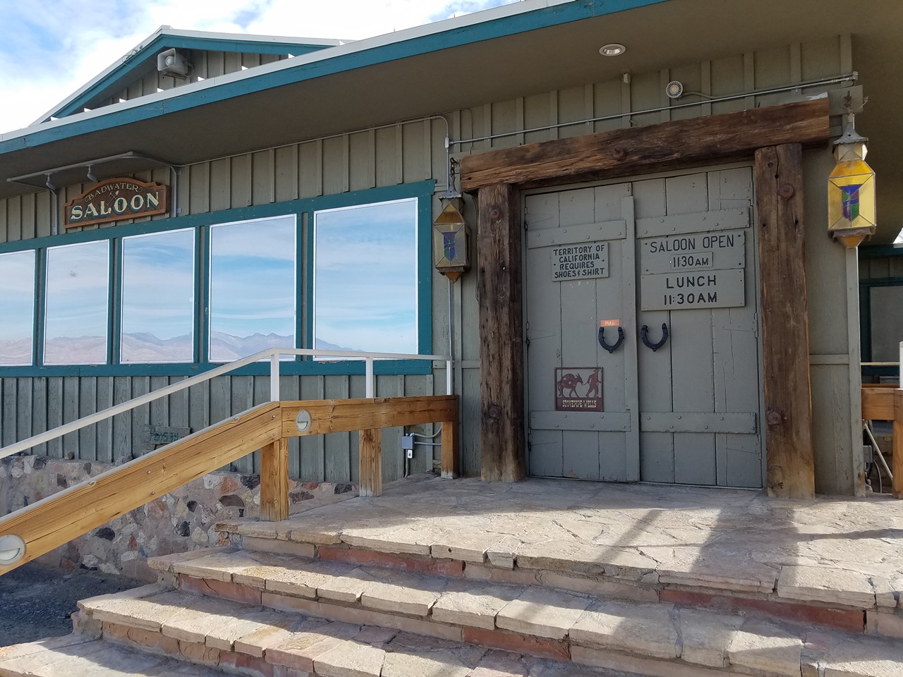
Another good lodging option is the Stovepipe Wells Village, a small hotel with a pool on the 190-N. From here you can easily explore the East and West sides of the park.This rest stop also has a general store and saloon that offers meals all day.


There are no comments.